We have test cases for our dataset which are shown below.

-
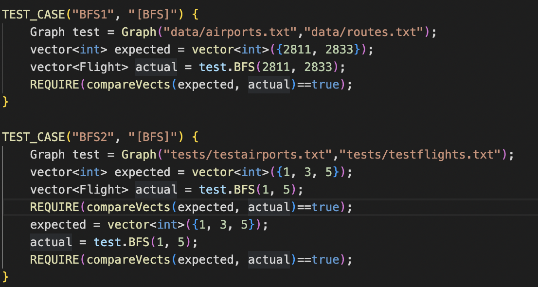
BFS-Find Intended function + output: receive input of 2 IATAs to output the list of airports visited in the path in order to get from the origin to final destination
-
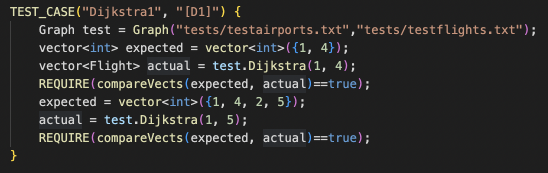
Dijkstra's Intended function + output: take in the origin and destination longitude + latitude to return the shortest path possible between two airports
The test case for this includes comparing the expected vector with the given vector of coordinates.
The run time of our algorithm is O(|E|+|V|log(|V|)).
-
Page Rank Intended function + output: with the given 15-20 sightseeing locations scattered across the world, the algorithm will return a sorted list of the locations by proximity to the destination airport. In order to better accomplish this task at hand, we wanted to create an intermediate step where we figured out the top 10 ranked airports based on popularity using PageRank as well.
We faced issues in implementing this aspect of our project due to a time constraint and switching our project 1.5 weeks into the term. This algorithm is built off of completing BFS and Dijkstra's so we found it imperative to first complete our Find function and Dijkstra's.
This was an example of our project passing all of our given test cases to prove our accuracy.

Finally, here is a working example of our project. As we are located in Champaign, we wanted to figure out how to get to our group member Manit's local airport in India.

With our project, we wanted to assist users in their trans-atlantic commutes. We had two main questions that we wanted to answer; the first being "Can we find the nearest airport given an individual's coordinates?" and "How can we calculate the shortest path between two airports?".
To answer the first question, we created a "Find" function. We decided to take in two IATAs before using our BFS function in order to get a vector of all the flights visited in the path. Our BFS implementation maintains a queue of flights.
Our next algorithm was using Dijkstra's. This algorithm takes into consideration the origin and destination airports to then calculate the shortest path between 2 airports. The nodes are coordinates containing the longitude and latitudes of airports while the edges are only the existing routes between 2 airports.
Our last algorithm uses PageRank. We decided to input 15-20 locations that are known as popular sightseeing locations across the world. With that, we would produce a ranked list of these locations based on their proximity to the final destination. We wanted this aspect of our project to be two-fold so we could better understand the algorithm. We decided to create a list of all airports that are ranked by popularity based on visits and etc.
As a team, we had many successes in learning about how to implement these various algorithms. We were able to learn how to create project from scratch while working with a mentor and in a group to achieve a targeted goal.